Scope
Define what needs to be documented, who will use it, and what the finished record needs to communicate.
Commercial visual documentation · Indianapolis & Central Indiana
Planned aerial, ground, 360°, thermal, and mapping documentation—captured consistently and organized for review, comparison, and communication.
The project record
Every project is scoped before capture so the coverage, methods, schedule, and deliverables stay aligned with how the material will be used.
Define what needs to be documented, who will use it, and what the finished record needs to communicate.
Establish coverage, repeatable viewpoints, capture methods, schedule, and field requirements.
Collect the planned aerial, ground, 360°, thermal, or mapping data consistently and deliberately.
Organize the material by date, location, and purpose—then repeat the process when ongoing documentation is needed.
Ways we document
Construction progress, roof and thermal documentation, and mapping require different capture methods—but each begins with what the client needs to see and how the finished material will be used.
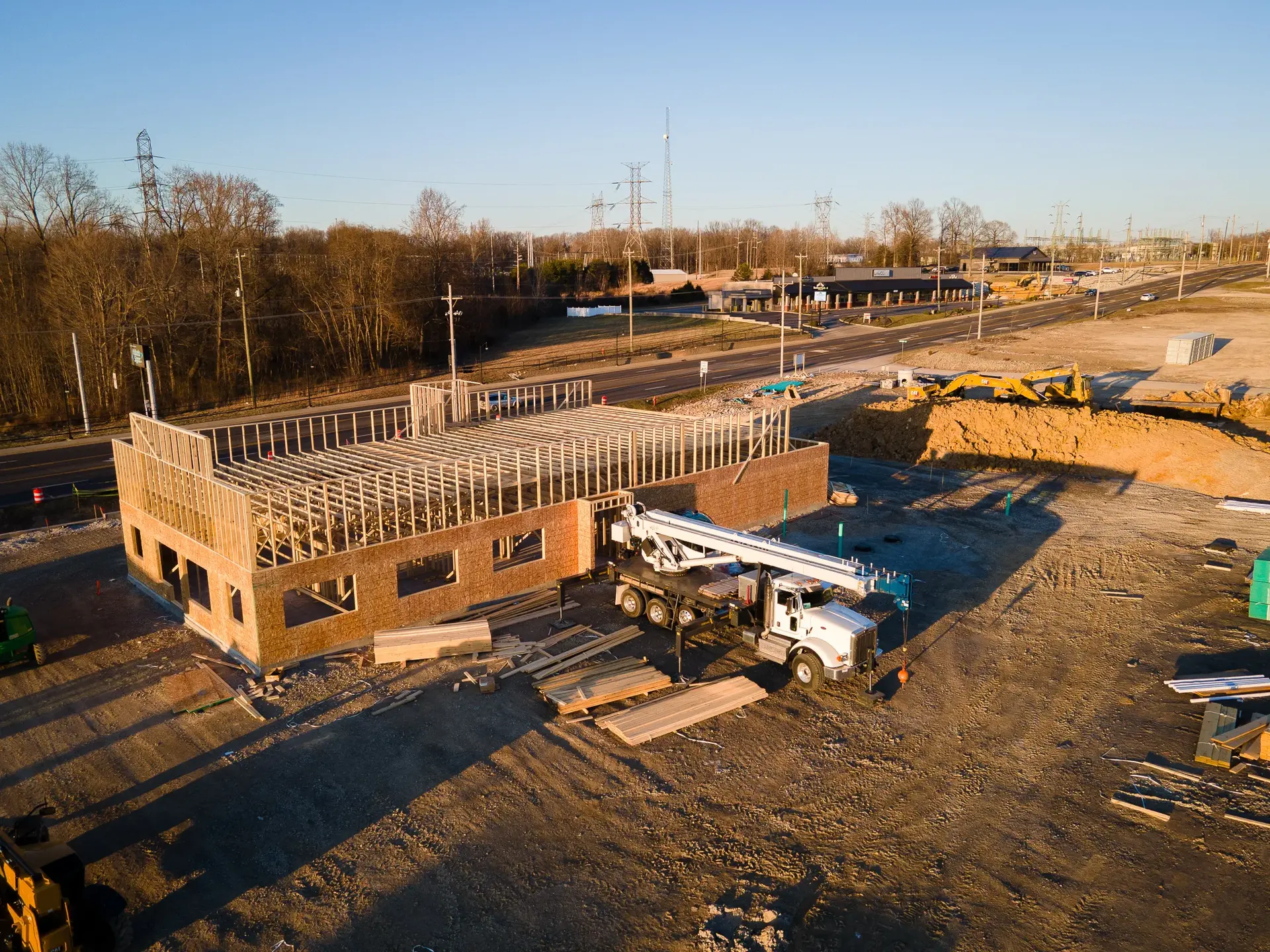
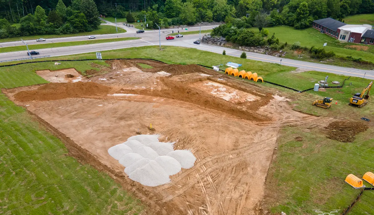 Active construction site
Active Projects
Repeatable aerial and ground imagery, 360° context, milestone media, and date-organized records that make progress easier to review and share.
Learn more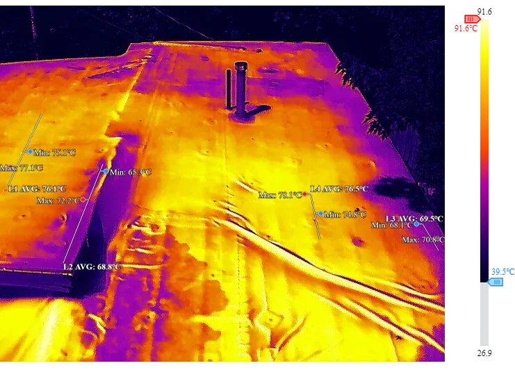 Radiometric thermal roof
Roofs & Facilities
Visual roof coverage and radiometric thermal data collection for contractors, property managers, and facility teams.
Learn more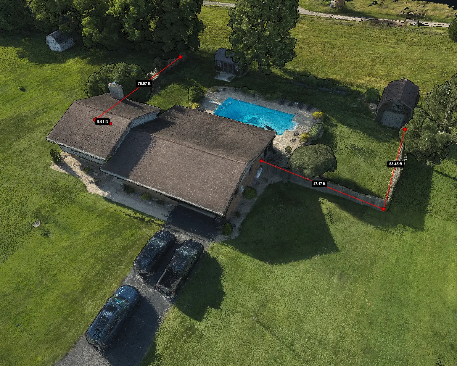 Photogrammetry model
Site Context
Orthomosaic imagery and visual site maps that make larger sites easier to review, reference, and communicate.
Learn more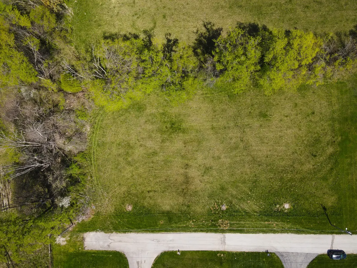
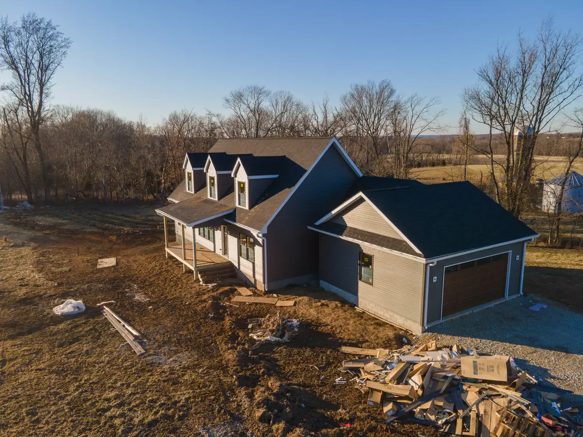
Construction documentation
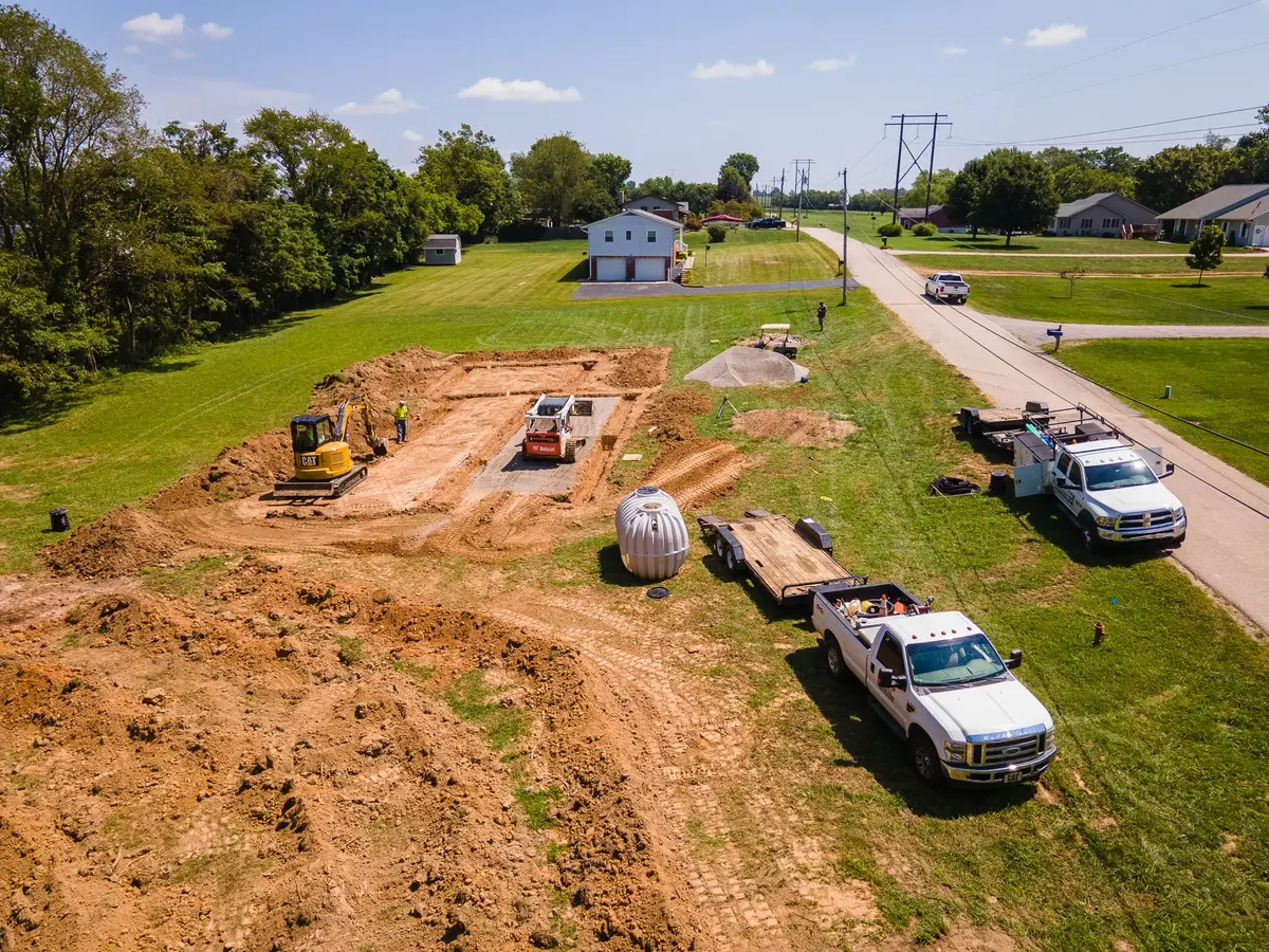
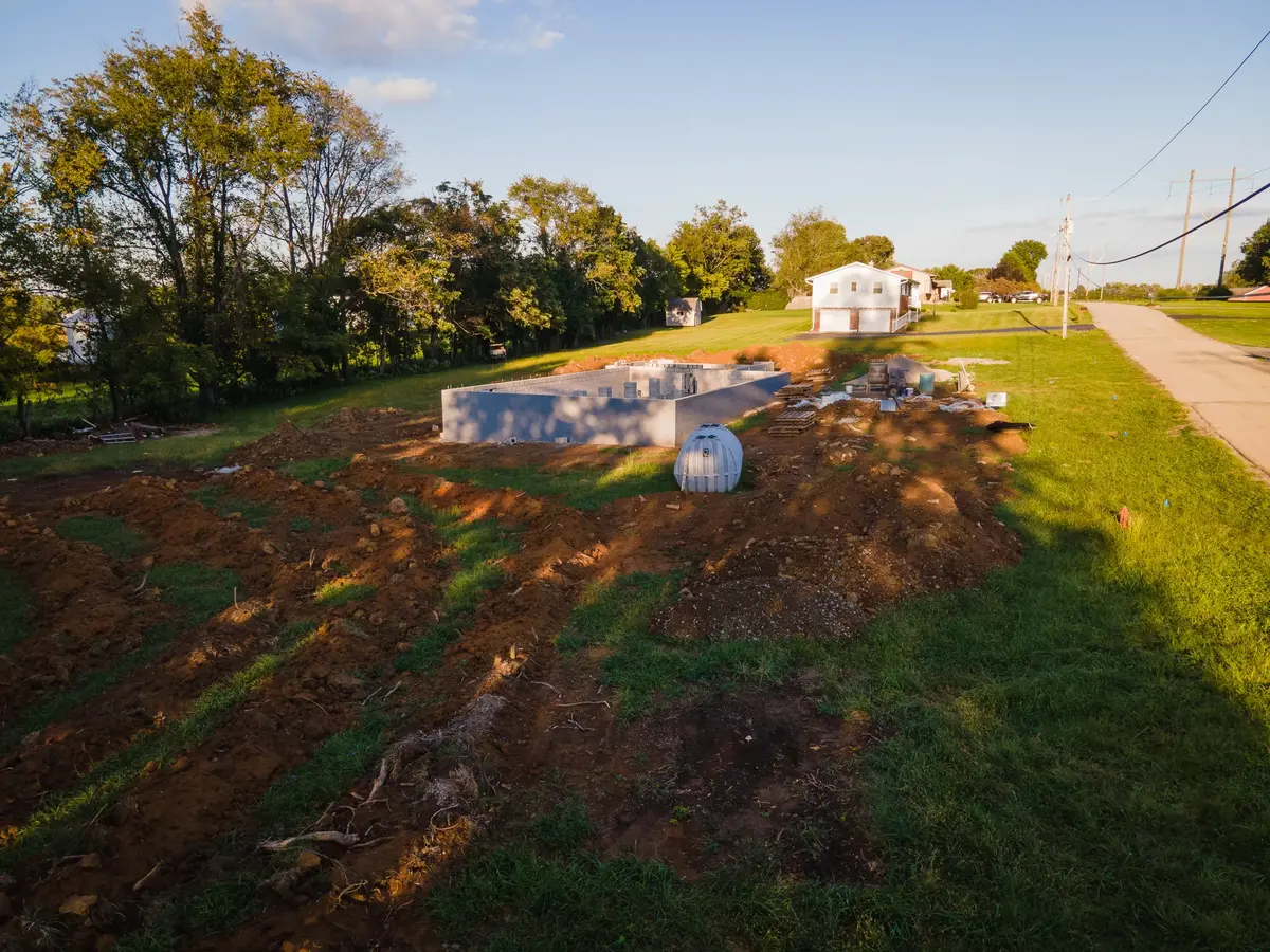
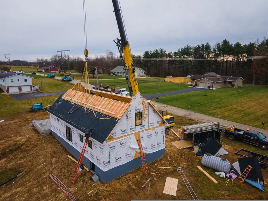
Recurring documentation can combine matched aerial views, ground photography, 360° context, and milestone media into one consistent package.
Commercial roof & thermal documentation
Organized RGB imagery and radiometric thermal data collection can support roofing contractors, property managers, and facility teams as they review conditions, communicate locations, and plan their next steps.
 RGB roof coverageVisual coverageThermal roof imageRadiometric capture
Start with the project
We’ll recommend the capture approach and deliverable structure that best fits the job.